Motorcycles
The Sea of Trees Line
A trip along the National Highway, or rather, the terrible Route 352. This time I’m finally at the outer circumference
A trip along the National Highway, or rather, the terrible Route 352. This time I’m finally at the outer circumference
I am running along National Route 352 towards Lake Okutadami. This video is an almost uncut version of the 27.5km
It is about 18km from Itozawa, Minamiaizu Town to Takatsue Ski Resort. Although the road becomes narrow in places, it
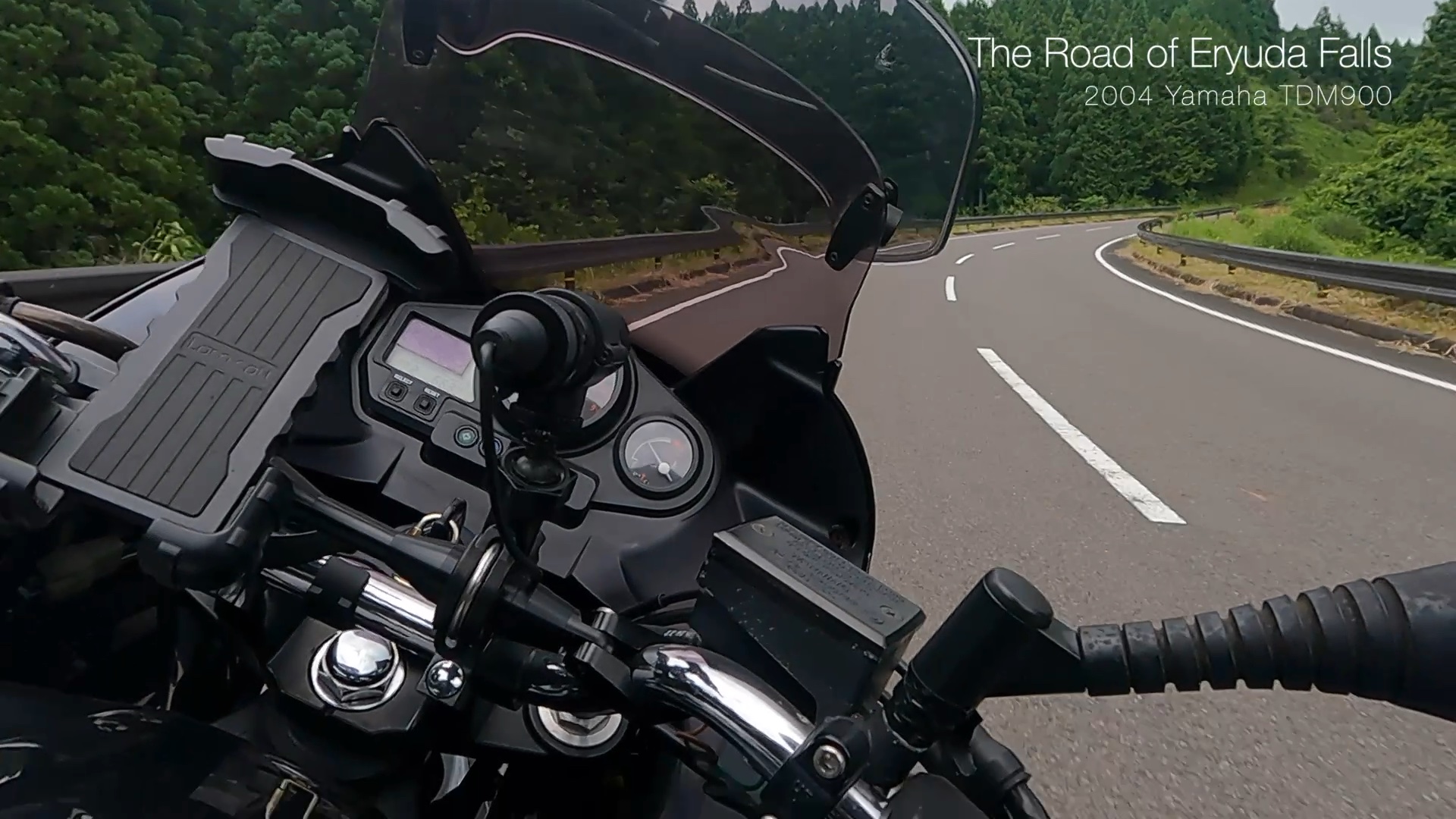
North Ibaraki-Daigo Line, Ibaraki Pref. Road 22 from Route 349 to Fukuroda Falls. It’s about 14km long.
North Ibaraki-Daigo Line, Ibaraki Pref. Road 22 from Koyama Dam to Route 349. It’s about 23km long, very joyful road!
I don’t know the name of this road. It was a road that I found by chance. It is a
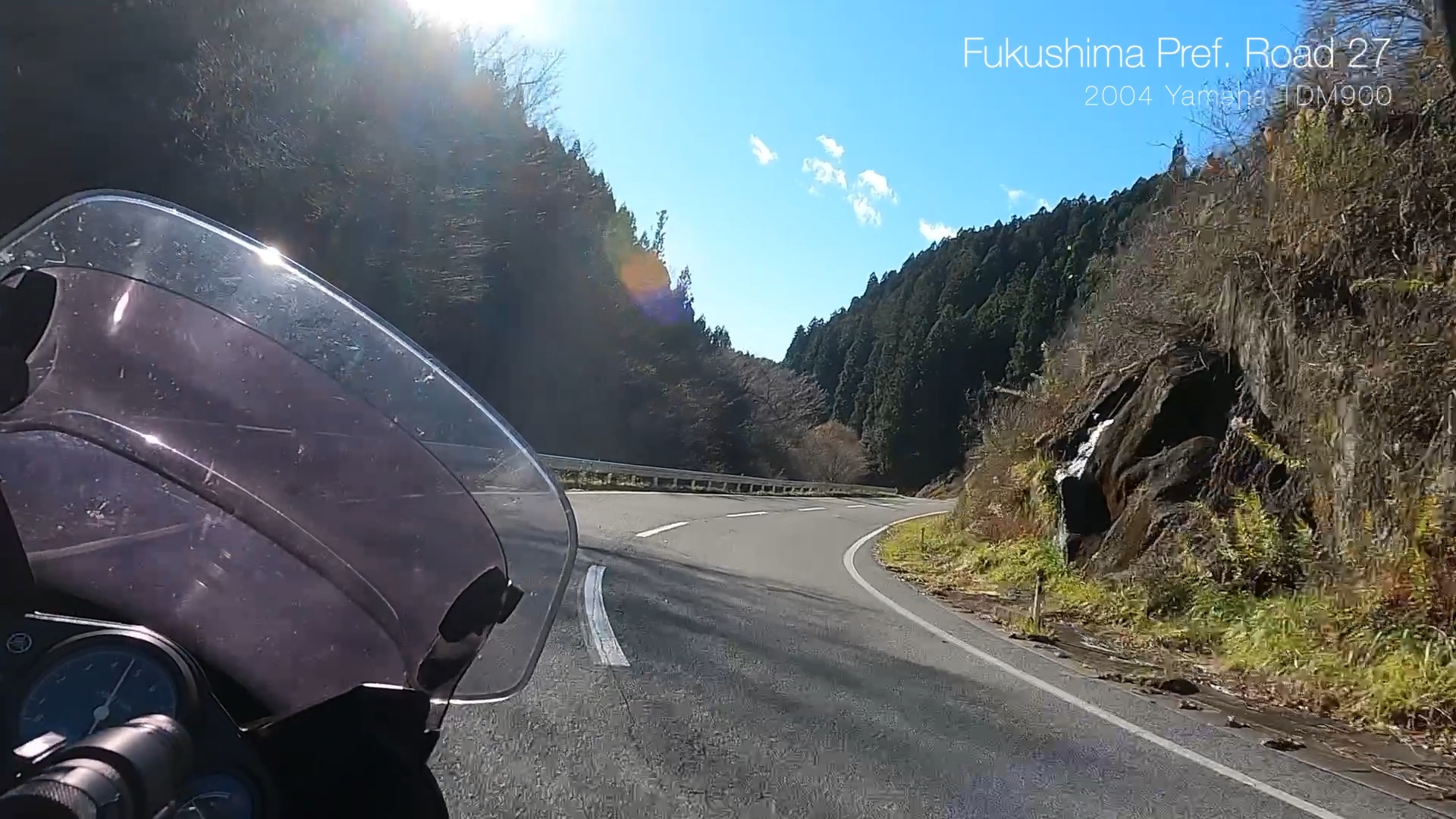
I ran some winding roads in Fukushima. First, I ran National Highway 349 from Yamatsuri to Nagura. It was about
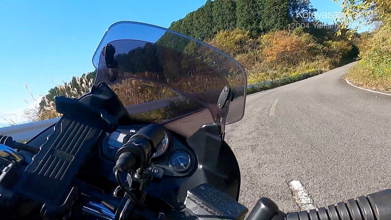
Koteyasan is located on Ohtawara city, Tochigi. The altitude is not high at 512.9m, but the view from the summit
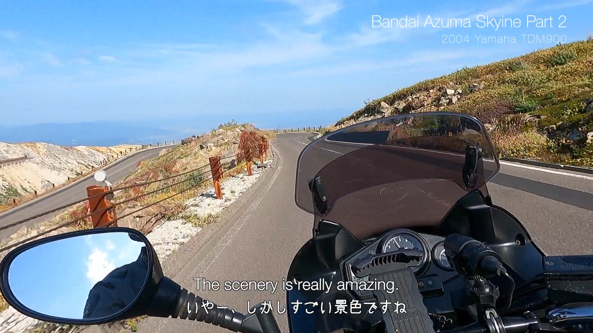
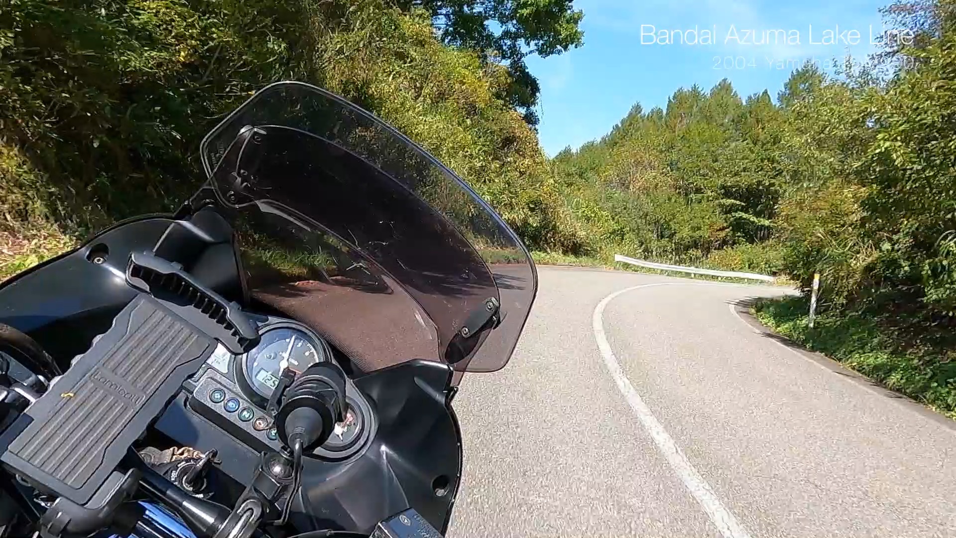
Bandai Azuma Skyline (Fukushima Pref. Road 70) was selected as one of the 100 best roads in Japan. Part 1,
There are a lot of corners and long straights. It was fun to ride! The scenery of the lakes of